

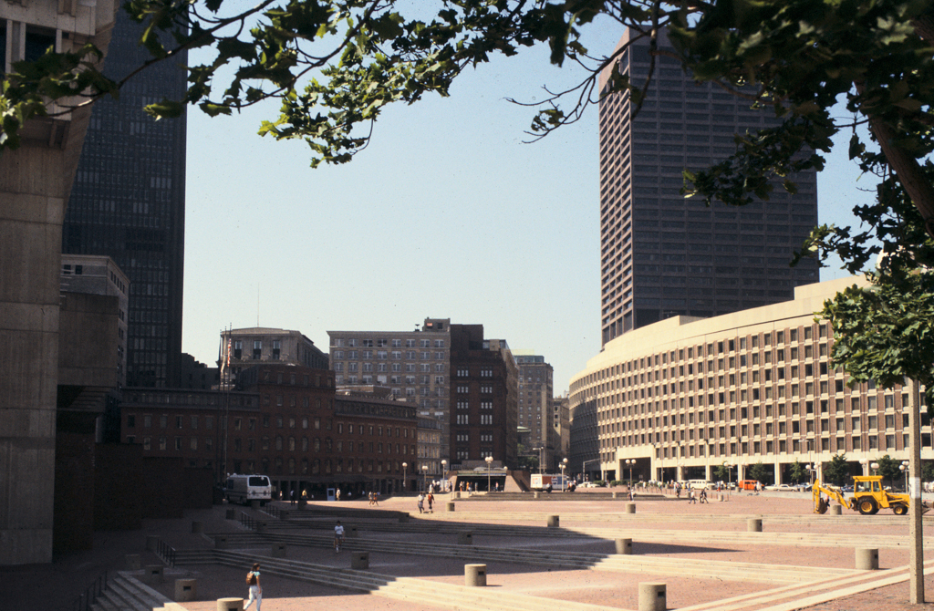
City Hall Plaza marks the beginning of the “new” Boston. The focus of a government center scheme initiated by the Boston Redevelopment Authority, it was initially heralded for replacing an old down-and-out but lively neighborhood around the former Scollay Square. I. M. Pei's master plan is now considered urban “removal” for leaving hardly a trace of the area's former character or history. The fifty-six-acre site, a trapezoid with two curved sides, was designed to accommodate government, business, and commerce. Divided into parcels, it was the nexus of the city's renewal, and more had been envisioned in the 1950s as planners projected a Walk to the Sea from Beacon Hill past a new city hall to the harbor. Although the whole development became a catalyst bringing Boston into the modern world, the plaza, sloping down to City Hall, has too pronounced echoes of Siena's grand Piazza del Campo leading to its municipal palace. In contrast, the Boston plaza's arenalike fountain, often inoperative in a windswept location, failed from the start, as did its projected role as a grand ceremonial space. However, the access to the public transit, the redevelopment of Quincy Market (GC5), and its location near the Freedom Trail have made the plaza a popular goal for workers, residents, and tourists. In 2001, Chan, Krieger and Associates added the ship-masted aluminum and wood loggia along Cambridge Street as an initial effort to provide a human-scale to the plaza.
City Hall Plaza–Government Center Master Plan
 Keith Morgan
City Hall Plaza- Government Center Master Plan
1964 urban design, I. M. Pei and Partners; 2001 arcade, Chan, Krieger and Associates.