

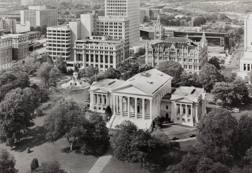
In 1779 the Commonwealth of Virginia decreed that the Richmond plan would be expanded by 200 “squares” or city blocks and that six blocks on Shockoe Hill were to be reserved for state government. In 1780 Governor Thomas Jefferson selected the six blocks that would make up present-day Capitol Square. To center the square on the promontory intended for the future capitol building, Jefferson took half blocks on the north and south. This offset arrangement terminated Franklin Street and Grace Street at the square and created Bank and Capitol streets to the north and south. Through most of its early history the square
Capitol Square
 HABS
HABS
Virginia State Capitol and Capitol Square
1780, layout, Thomas Jefferson and Directors of Public Works. 1816, first landscaping plan, Maximilian Godefroy. 1850–1860, second landscaping plan, John Notman. 1906–1922, landscaping