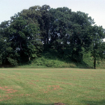
Toltec Mounds State Park preserves Arkansas’s highest Indian mounds. The mounds were initially called Knapp Mounds for the landowner, Mary Elizabeth Knapp, who in 1876 informed the Smithsonian Institution of their existence. Archaeologists first explored the site in 1879, but despite subsequent archeological digs, interest in the site faded. The mounds erroneously became known as the Toltec Mounds, for popular opinion in the late nineteenth century was that the Toltecs lived north of Mexico and, consequently, probably built the mounds. New investigations by the University of Arkansas began in 1976. It was determined that the mounds were most likely built by a group belonging to the Plum Bayou culture, who were farmers growing domesticated crops, hunting deer, turkey, and other animals, and fishing.
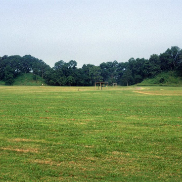
The mounds, which were abandoned by 1400, are situated in fertile bottomland beside Mound Pond, an old oxbow of the Arkansas River. The site consists of more than fifteen mounds and mound remnants, one borrow pit, and concentrations of village debris enclosed on three sides within an oval-shaped embankment and ditch and by Mound Lake on the fourth. Some mounds were foundations for buildings, and others were burial sites. At the present time only five of the mounds and portions of the embankment are visible from the surface, but two of the mounds are the largest west of the Mississippi River, with the exception of Poverty Point in Louisiana. When farming began in this area after 1850, plowing diminished the mounds, and in the 1960s several were flattened. The site is now a National Historic Landmark.


